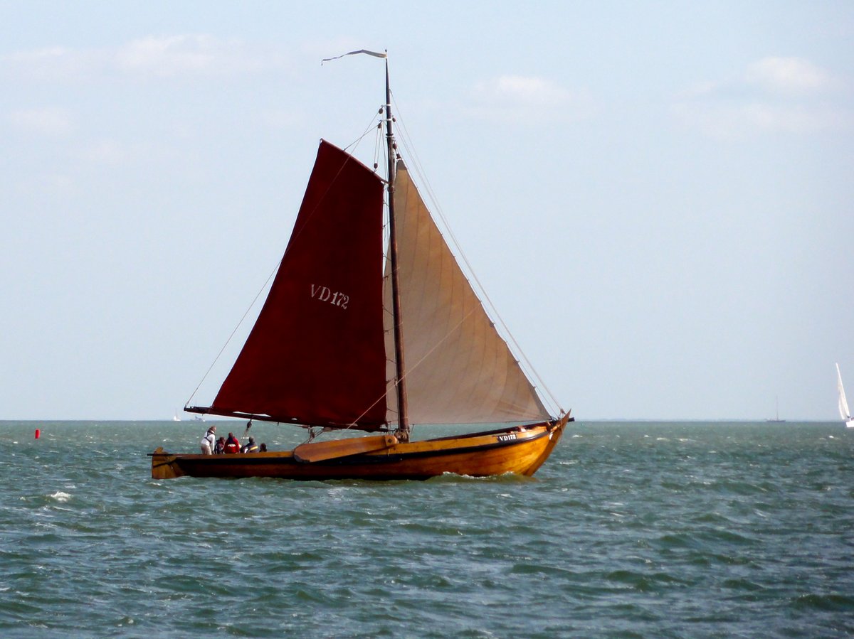
Lake IJssel complex, The Netherlands
For Demo Sites: Restoration of a lake affected by biodiversity loss because of hydro-morphological adaptations and climate change.
For Innovation Measures: Boosting biodiversity by construction of islands using local sediment.
Site description
By closing of the sea inlet called Zuiderzee in 1932, a huge lake was created. The area was no longer a sea inlet with brackish water but transformed in a freshwater lake, named Lake IJssel after the river that flows into the lake. The flow of fresh river water soon flushed out the salt water. Subsequently, land was reclaimed from the lake forming the IJsselmeer polders consisting of about 1500km2 mainly agricultural land. Part of the lake was later (1975) closed off by another dike forming Lake Marker.
These interventions turned a 3500 km2 tide-driven brackish water area into 1500 km2 polders and two compartmentalized freshwater lakes. The brackish flora and fauna has been replaced by a freshwater community in approximately 5 years. Some species remained in the lake, for example smelt.
The closure of the Zuiderzee, the land reclamation and the compartmentalisation have formed a freshwater lake that is fed by the IJssel and several smaller rivers. The present bathymetry and diversity of soil types are a legacy of the Zuiderzee era. The former estuarine dynamics have been replaced by a shallow lake (2-4 meters) with a regulated and non-natural water level (high in the summer and low in the winter). In addition, the lake has barely any natural shorelines.
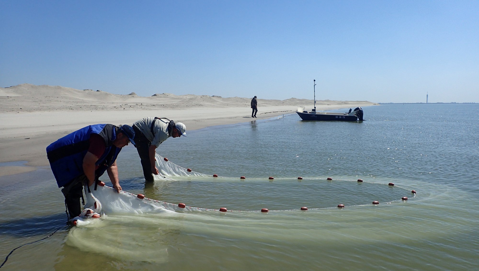
Biodiversity
Biodiversity is low and the food chain is considered to be vulnerable. Typical lake habitats like natural transition zones between land and water or fresh and salt water are missing. In addition, habitat connectivity is blocked. Connectivity is the ability for animals to move freely from place to place which allows them to find food, breeding grounds, and establish new territories. The closure of the brackish inlet has also impacted the biodiversity of the neighbouring Wadden Sea.
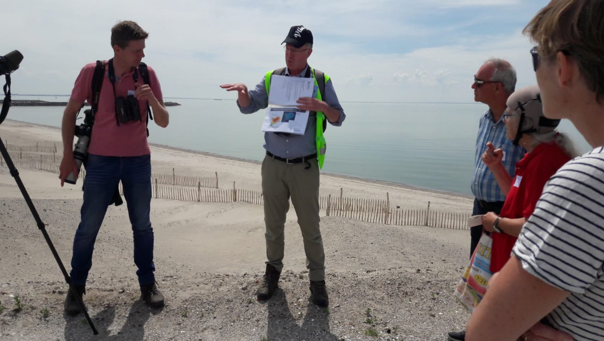
Restoration measures applied
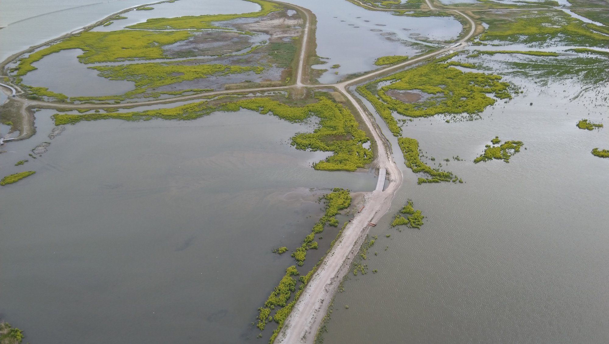
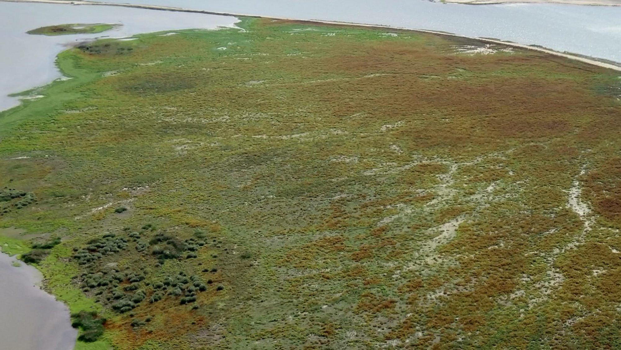
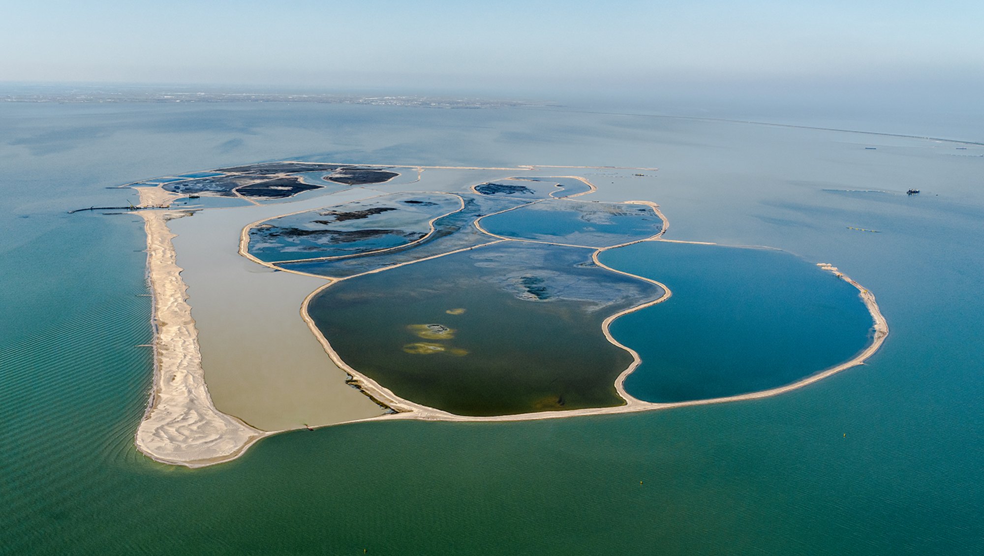
In an effort to improve water quality and create new habitats a hydraulic engineering project has been undertaken in Lake Marker: Marker Wadden. A new group of islands has been created, sculpted from sand, clay and silt from the lake itself. The islands of Marker Wadden created new nature soon after its construction; in addition to many birds, aquatic plants and fish appeared. Marker Wadden has considerably increased the amount of habitats for a number of bird and fish species in Lake Marker. Moreover, the islands act as a stepping stone to other areas in the vicinity.
Current goals of restoration at the site
Marker Wadden is part of the PAGW. The PAGW is a multi-year investment program with the aim of improving the ecological functioning of the larger waters in the Dutch delta. Four more projects are planned in Lake IJssel under the umbrella of the PAGW. The Ministries of Infrastructure and Water Management and Agriculture, Nature and Food Quality coordinate the realisation.
Sectors involved in lake basin management
In addition to the national and regional government, sectors like agriculture, drinking water supply, nature conservation, fishing, sand minders and recreation sectors are involved.
Further reading
- On this page you can read more about the PAGW
- On this page you can find the results of 5 year f research on Marker Wadden
- Grotenberg, S. en M.A. Altamirano, 2017. Government facilitation of external initiatives: how Dutch water authorities cope with value dilemmas. International Journal of Water Resources Development 35(3): 1-26
- Jin, H. 2021: Restoring aquatic food webs bottom-up: Improving trophic transfer through lake restoration project Marker Wadden. PhD thesis NIOO-KNAW.
- Temmink R.J.M., M. van den Akker, C.H.A. van Leeuwen, Y. Thole, H. Olff, V.C. Reijers, S.T.J. Weideveld, B.J.M. Robroek, L.P.M. Lamers en E.S. Bakker, 2021. Herbivore exclusion and active planting stimulate reed marsh development on a newly constructed archipelago. Ecological Engineering 175 (2022) 106474.
- Van Leeuwen C.H.A., R.J.M. Temmink, H. Jin, Y. Kahlert, B.J.M. Robroek, M.P. Berg, L.PM. Lamers, M. van den Akker, R. Posthoorn, A. Boosten, H. Olff en E.S. Bakker, 2021. Enhancing ecological integrity while preserving ecosystem services: Constructing soft-sediment islands in a shallow lake. Ecological Solutions and Evidence, 2,e12098. https://doi.org/10.1002/2688-8319.12098.